
Precise Quality Deliverables
Professional Land Surveying You Can Trust in Central Texas & Surrounding Areas
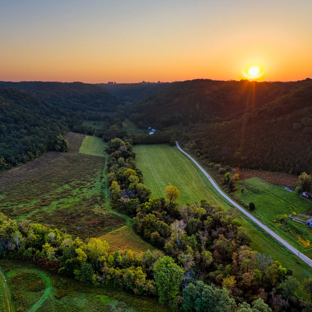
Lone Star Geospatial LLC, based in Austin, TX, provides accurate, reliable, and timely land surveying services for property owners, builders, developers and real estate professionals across Central Texas, with statewide capabilities.
Neighbors First, Professionals always.
Lone Star Geospatial LLC is a locally based professional land surveying company serving Austin and the surrounding Central Texas communities. We focus on delivering precise survey data, dependable timelines, and professional service for every project. From residential property surveys to complex commercial surveying needs, we approach every job with accuracy, integrity, and attention to detail.
Why Choose Lone Star Geospatial LLC
Local Central Texas land surveying company
Professional, detail focused surveying work
Clear communication from start to finish
Reliable turnaround times
Trusted by homeowners, builders, and professionals
Convenient weekday service hours
Professional Land Surveying in Austin & Surrounding Areas
Our land surveying services are designed to support property transactions, construction projects, and land development with accurate and dependable results.
Boundary Survey
Precisely identifies property lines to confirm ownership, resolve disputes, and support real estate transactions with confidence.
Lot & Tract Survey
Provides accurate measurements and documentation for individual lots or large tracts, ideal for buyers, sellers, and landowners.
Topographic Survey
Maps elevations, contours, and natural or man made features to support planning, drainage, and design decisions.
Construction Staking & Layout
Transfers approved plans to the ground so builders and contractors construct in the correct location and elevation.
ALTA & Commercial Survey
Delivers detailed, lender compliant surveys required for commercial property transactions and development.
Subdivision & Platting Survey
Assists with land division, replatting, and subdivision approvals to meet local and county requirements.
Easement & Right of Way Survey
Identifies existing and proposed easements to protect access, utilities, and legal property rights.
Get An Estimate For Your Survey
Our Surveying Process
Initial Consultation
We review your property details, project goals, and timeline to determine the exact type of survey required and avoid delays or surprises.Research and Records Review
We analyze existing deeds, plats, and public records to establish historical boundaries and ensure accurate field work.On Site Field Survey
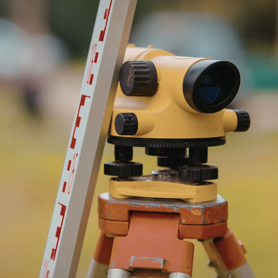
Our team collects precise measurements using professional surveying equipment to document property lines, elevations, and features.Data Analysis and Verification
All field data is reviewed, calculated, and verified for accuracy and compliance with local and county standards.Final Survey Delivery
You receive clear, professional survey documents ready for real estate transactions, permitting, construction, or legal use.Ongoing Support
We remain available to answer questions, coordinate with builders or title companies, and support your project as it moves forward.
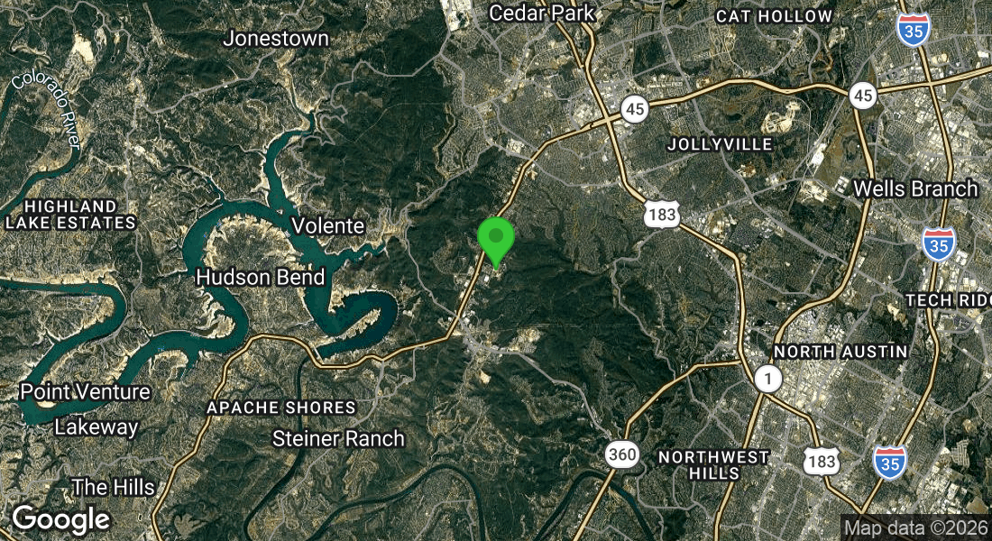
Land Surveying Services Across Central Texas
Lone Star Geospatial LLC proudly serves residential and commercial clients in the following areas:
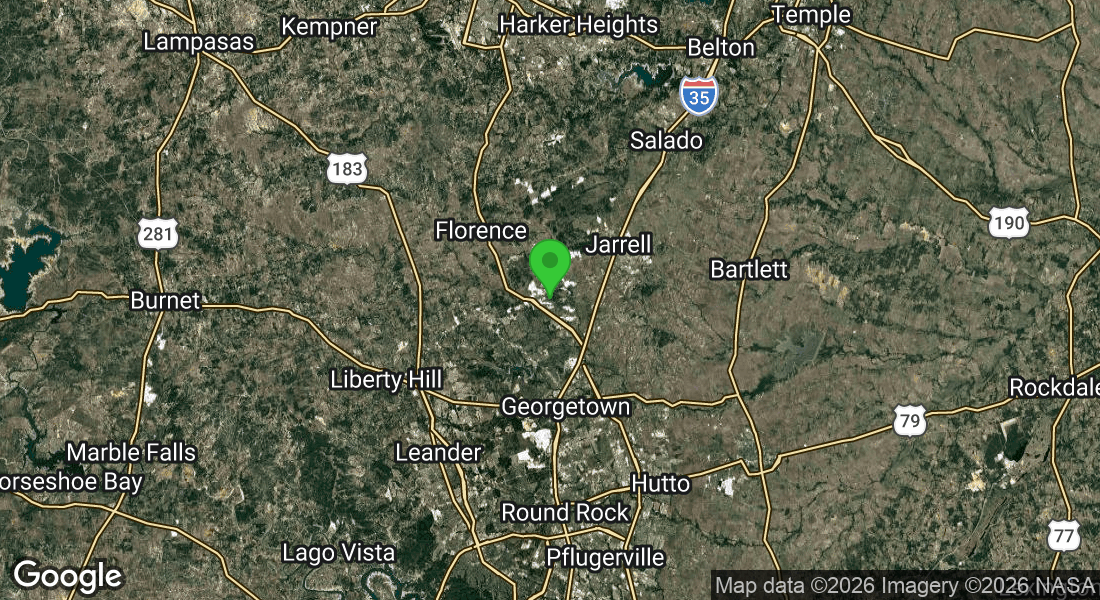
Service Areas:
Frequently Asked Questions
Do you work with title companies, builders, and real estate agents?
Yes, we regularly coordinate with title companies, contractors, lenders, and real estate professionals.
Do you offer residential and commercial surveys?
Yes, we work with both residential and commercial clients.
Is a land survey required for permits or construction?
Many projects require a survey for permitting, planning, or construction layout. We help ensure your documentation meets requirements.
What information do you need to get started?
Property address, parcel information, and the purpose of the survey help us provide an accurate quote and timeline.
Do you mark property corners?
Yes, property corners are located and marked when applicable as part of boundary and lot surveys.
How long does a land survey take?
Most surveys are completed within a few days after field work, depending on property size, records research, and survey type.
Are your surveys compliant with local and county standards?
Yes, all surveys are completed to meet applicable local and county requirements.
Do I need a survey before buying or selling property?
Yes, a professional land survey helps confirm boundaries, identify encroachments, and prevent issues during closing.
Can you survey rural or undeveloped land?
Yes, we survey residential, commercial, and undeveloped properties throughout Central Texas.
Will my survey show fences, buildings, and improvements?
Yes, visible improvements and relevant features are documented as part of the survey.
Get In Touch!
Monday - Friday
8am - 5pm
Austin, TX 78726
Built & Powered By: Rainmaker Website Systems
©opyright 2026 Lone Star Geospatial LLC | All Rights Reserved